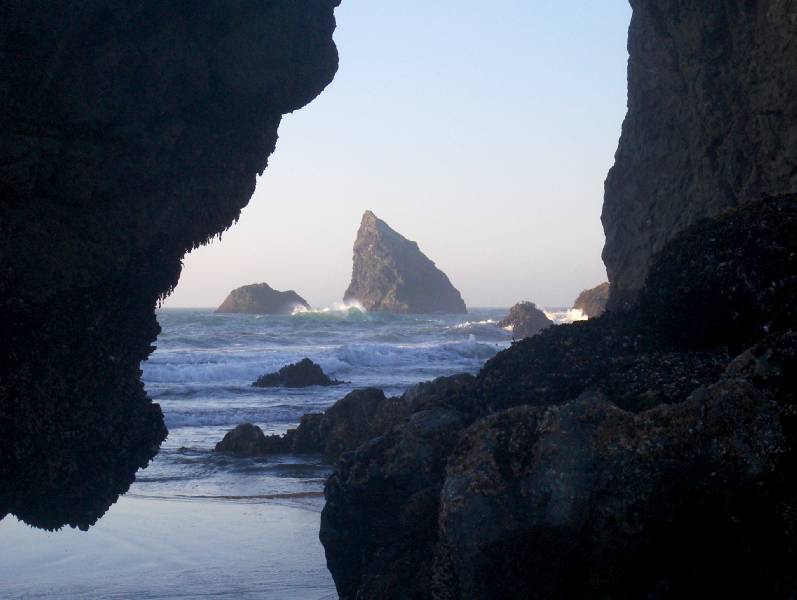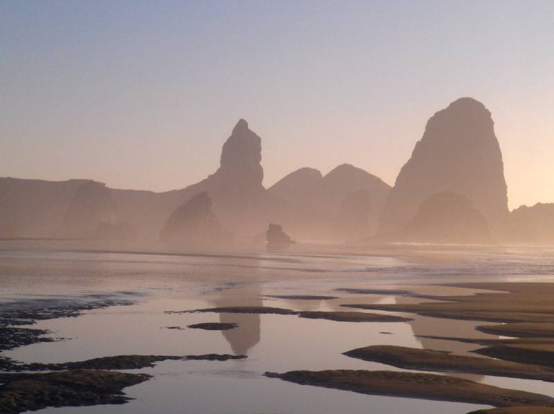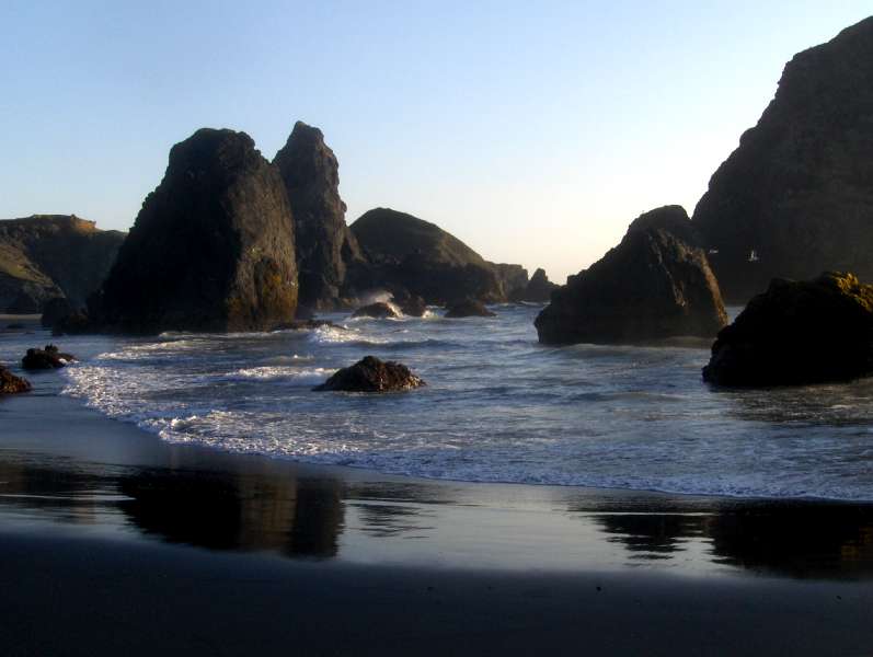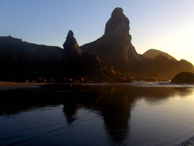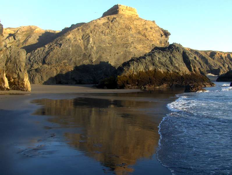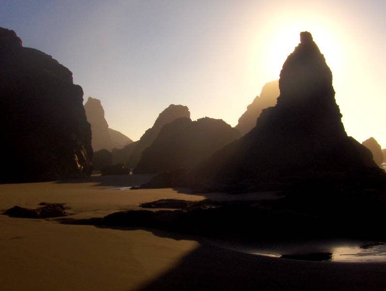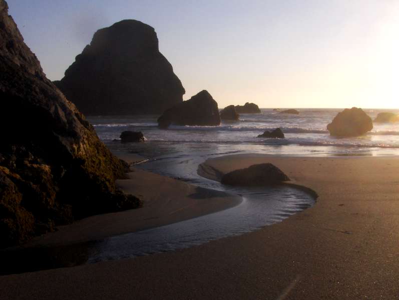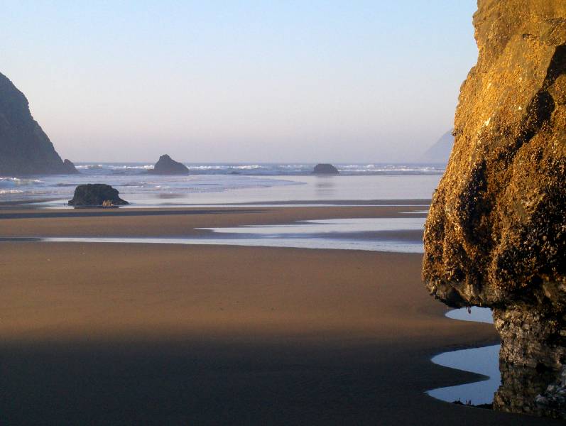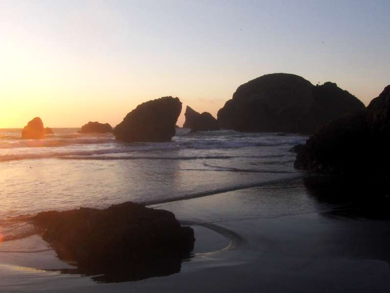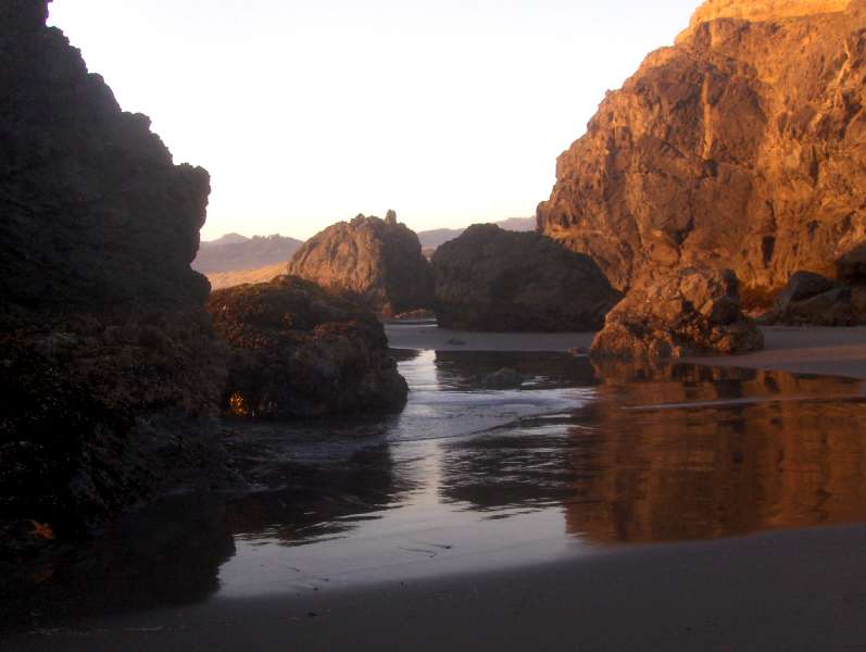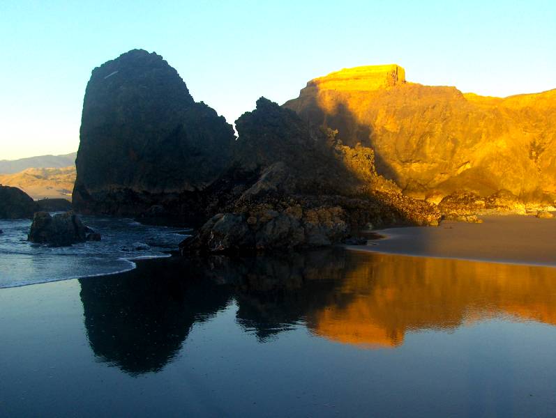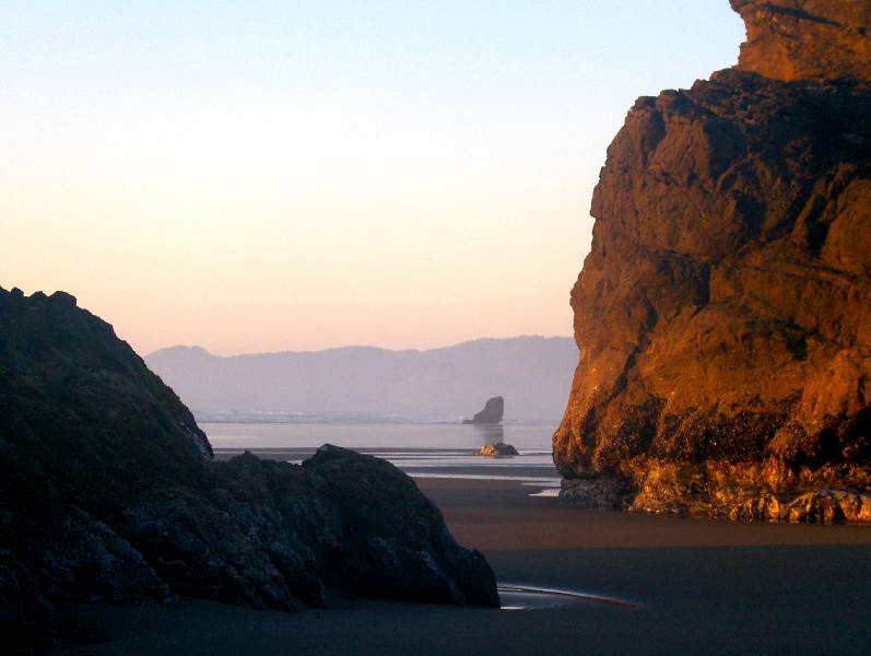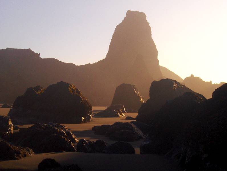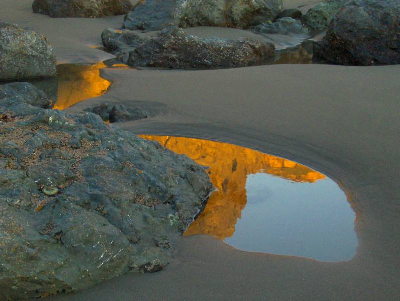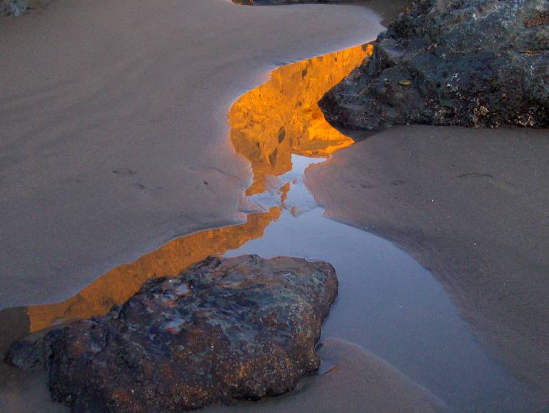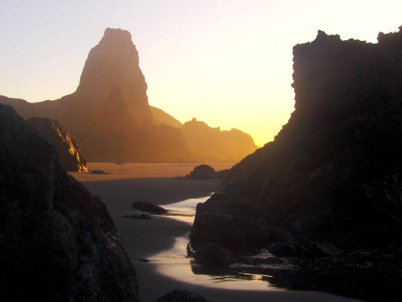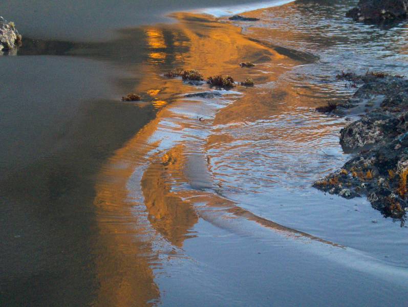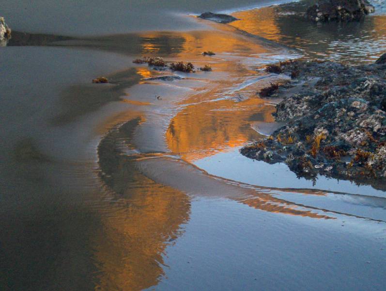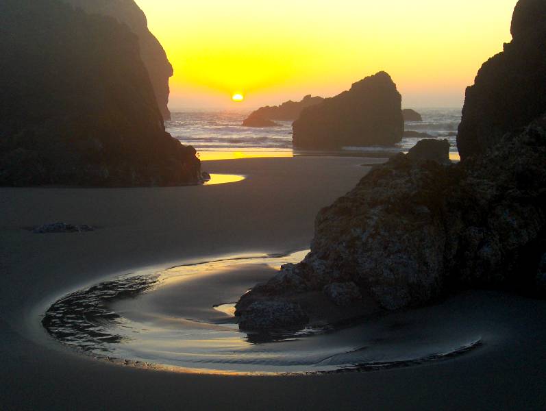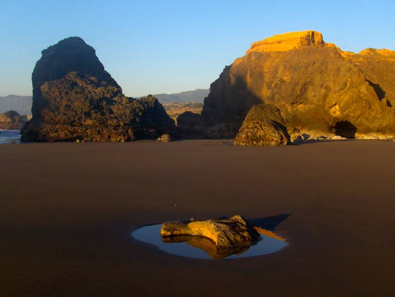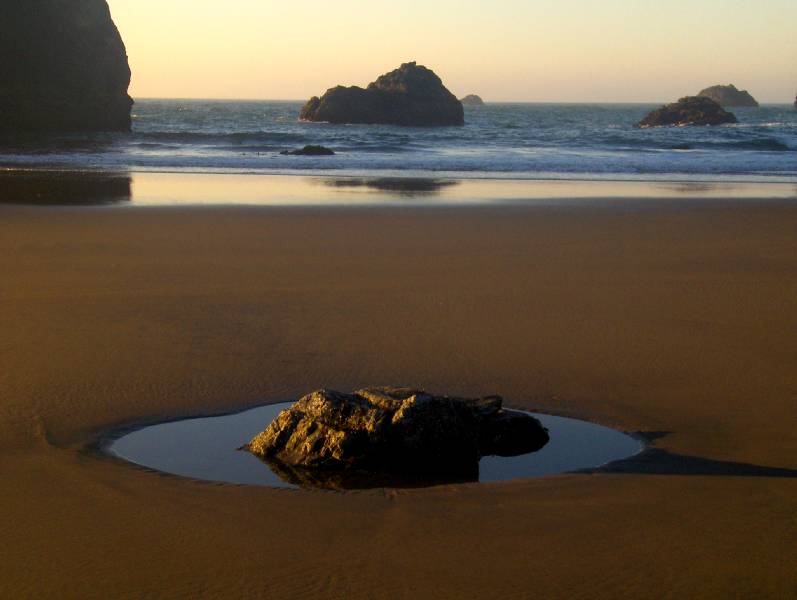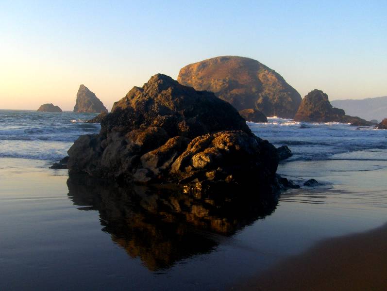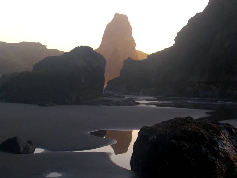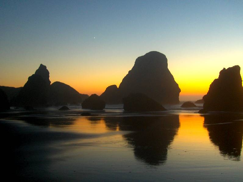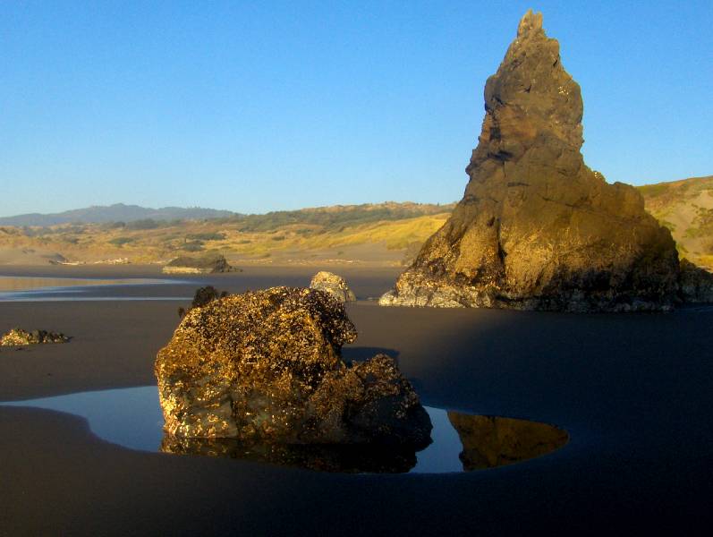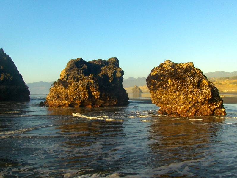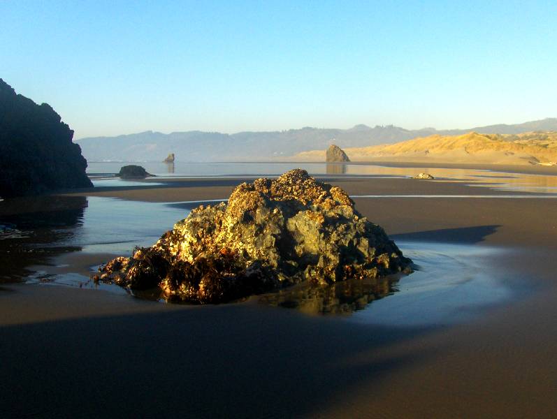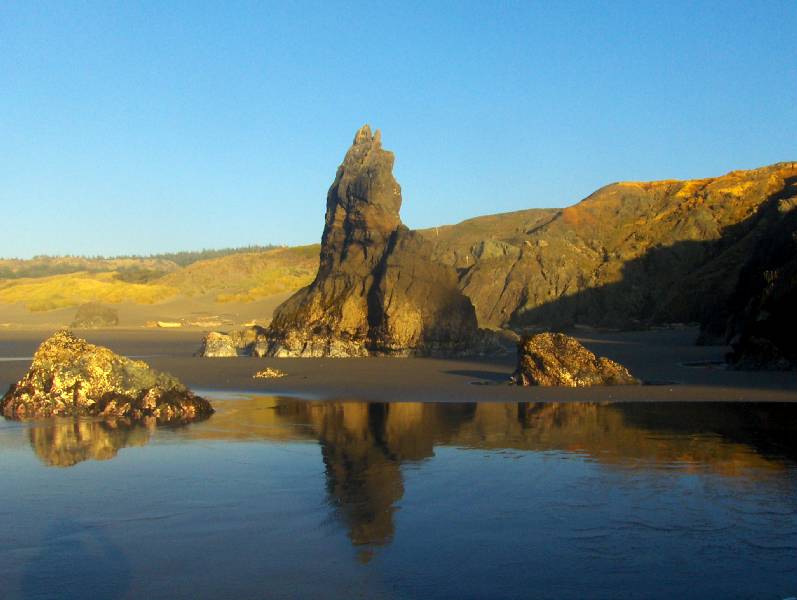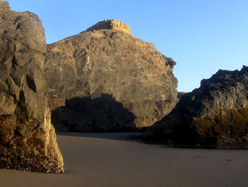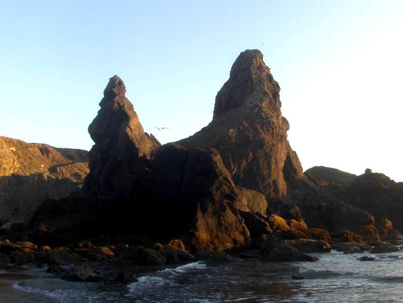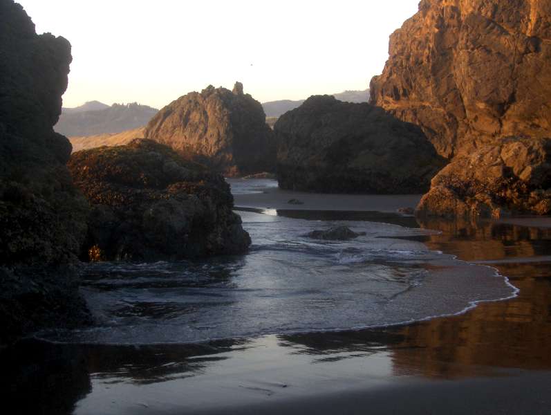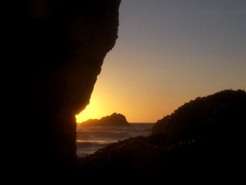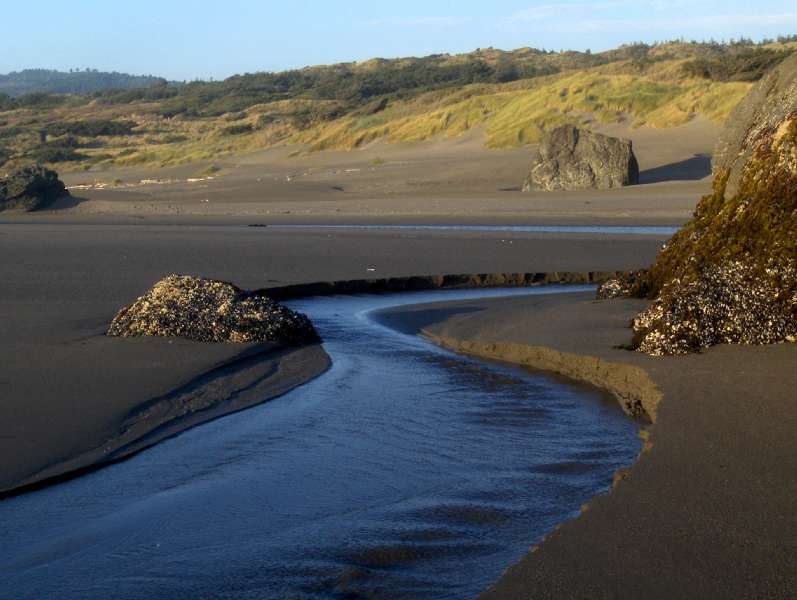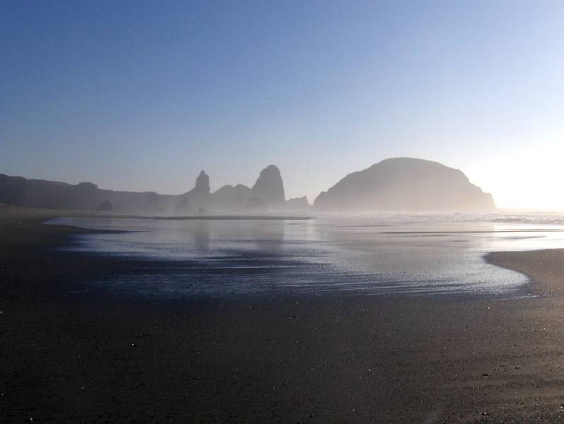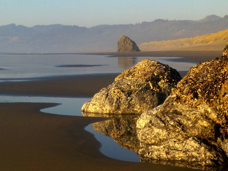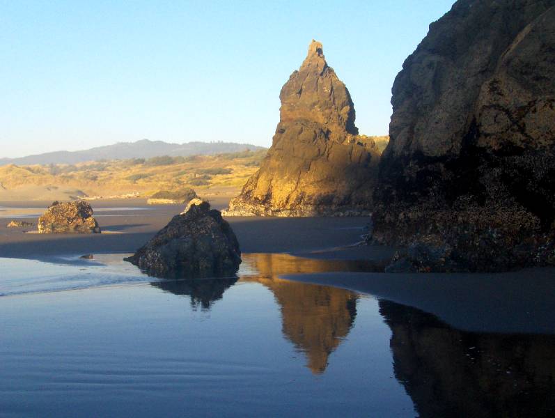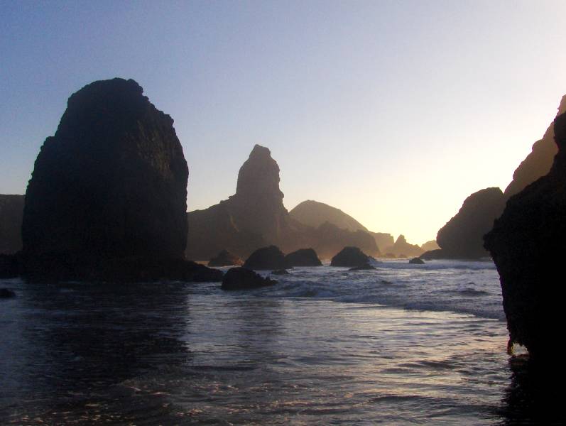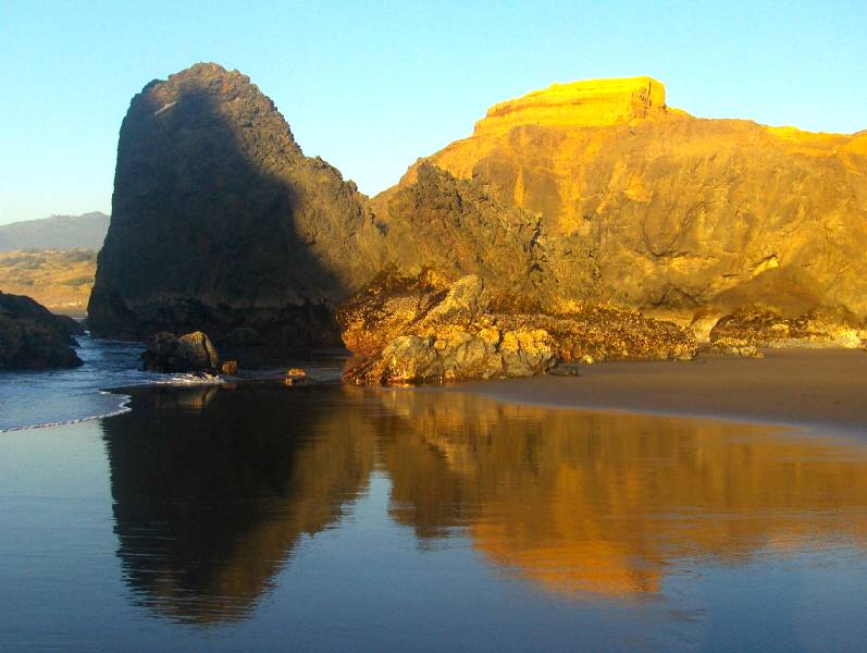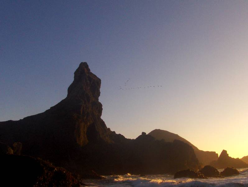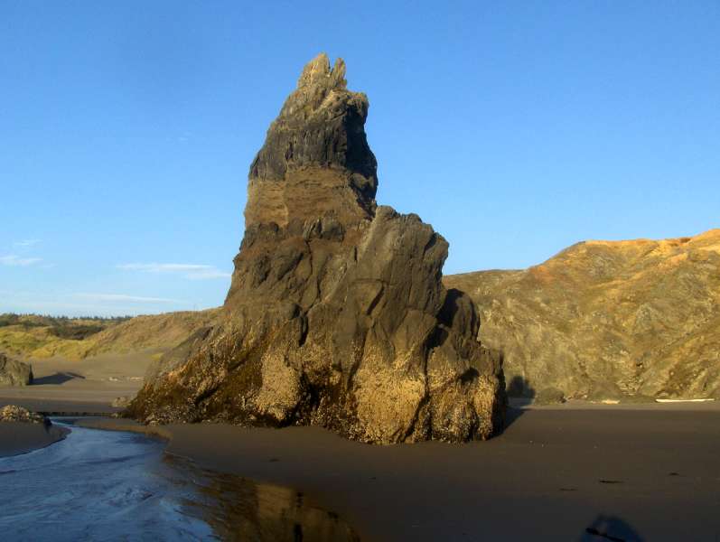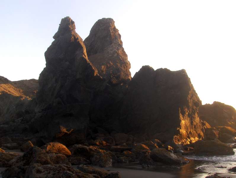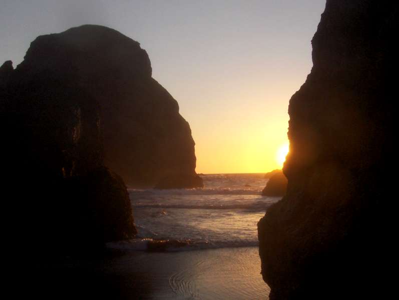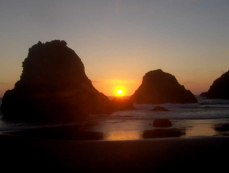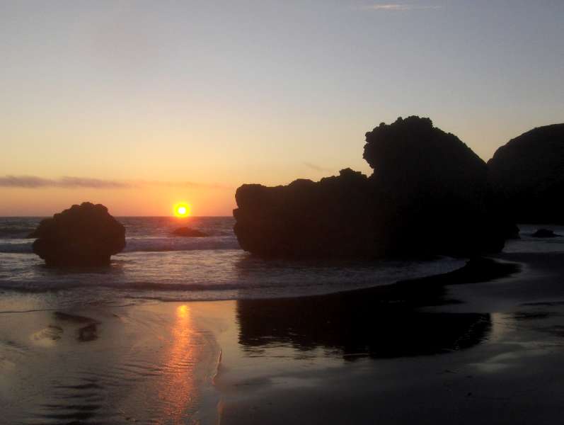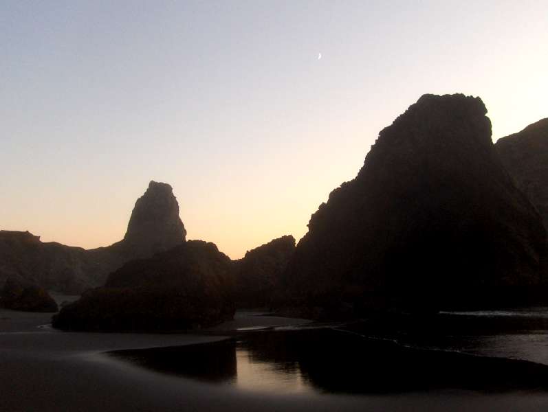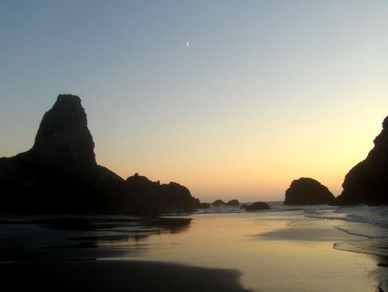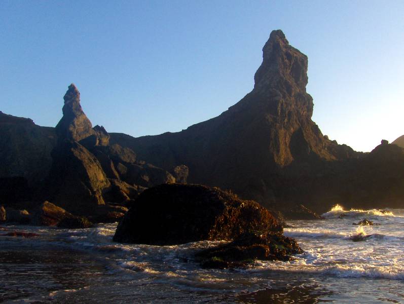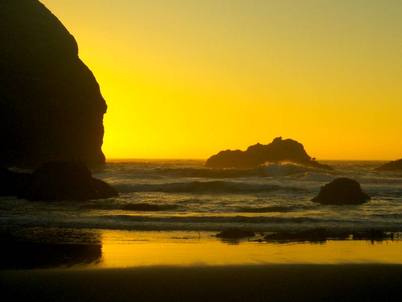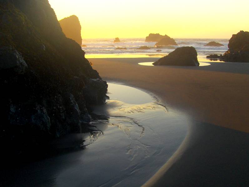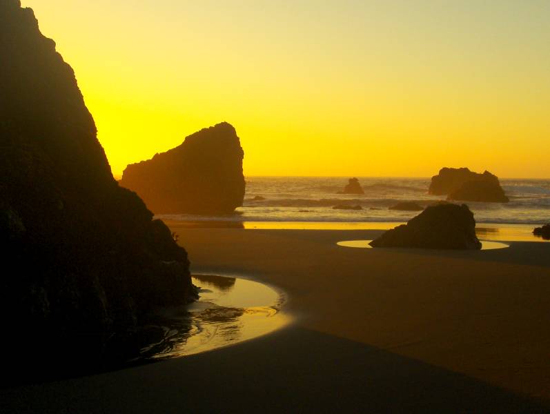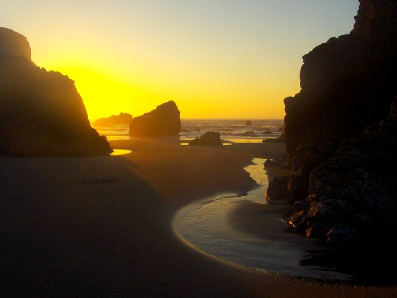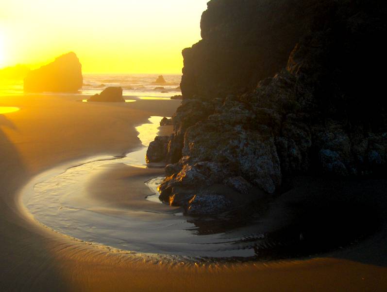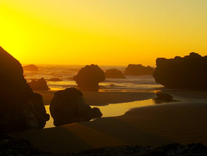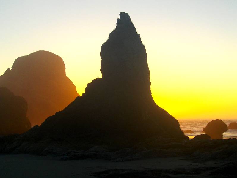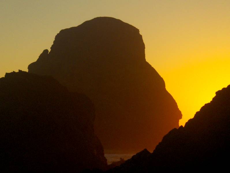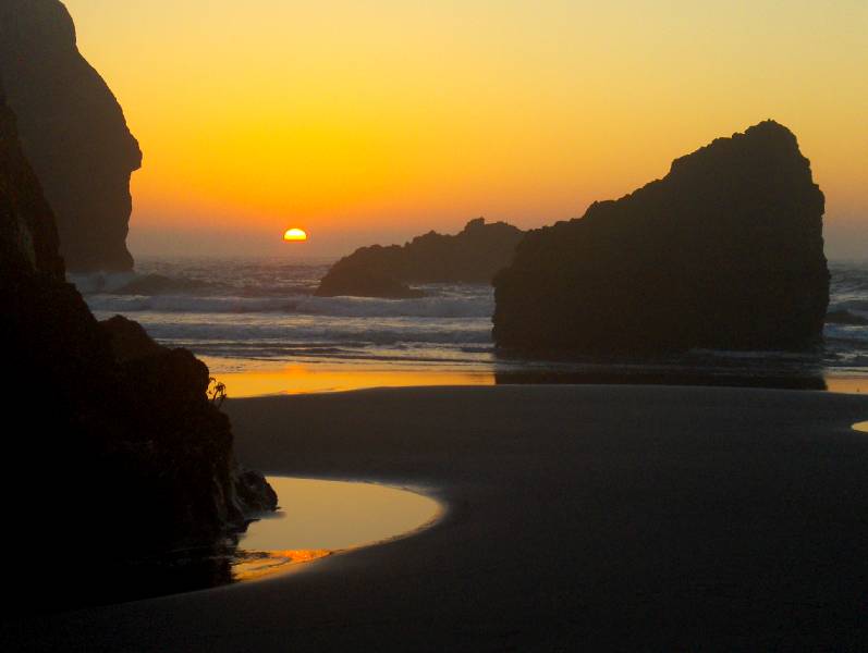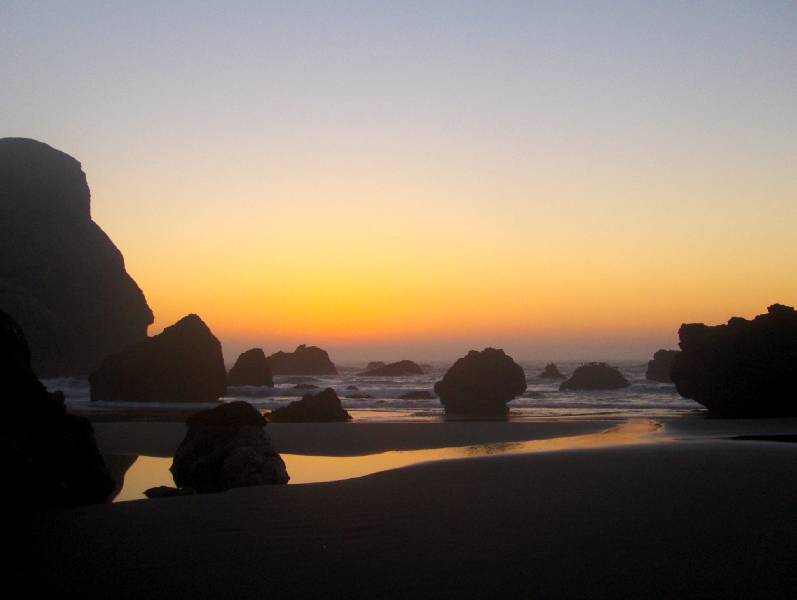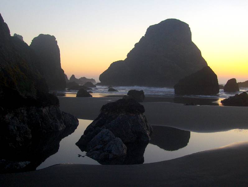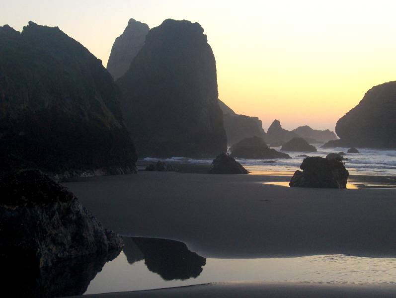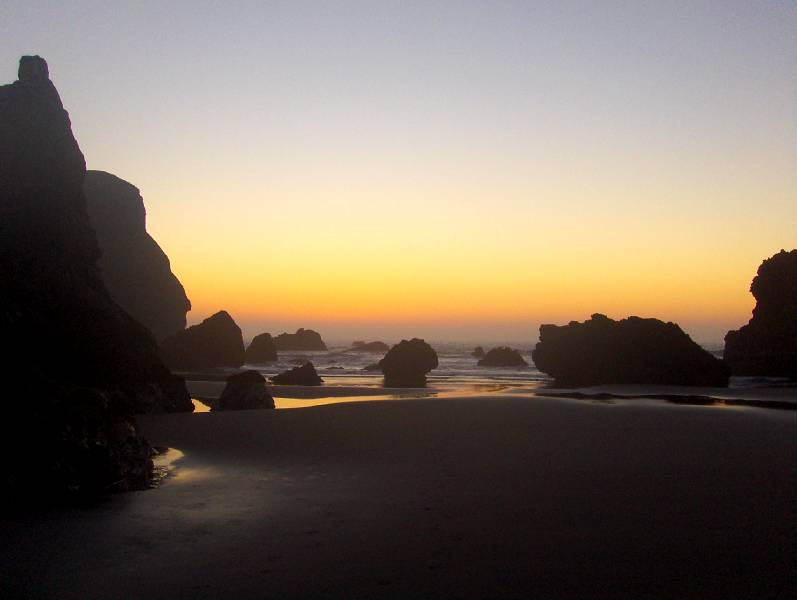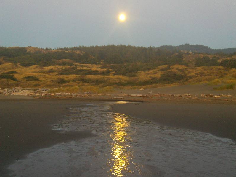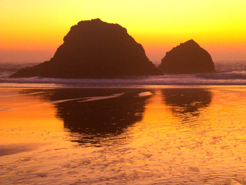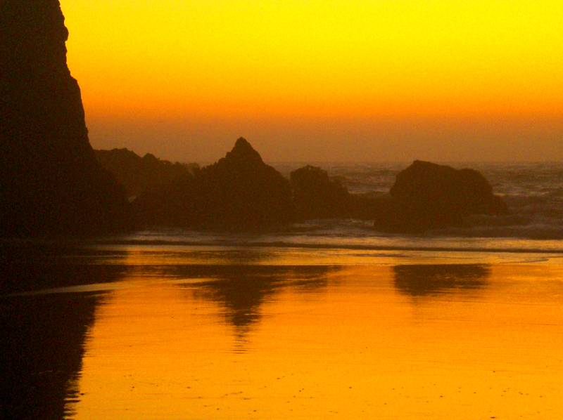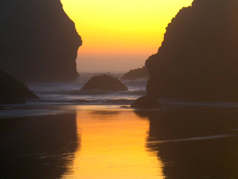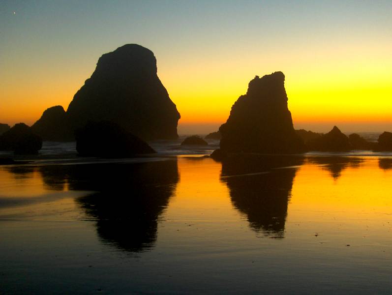
the photos on this page were all taken at a place called Crook Point on the USGS coastal map “Cape Sebastian”. you can access this beautiful place by walking 1.5 miles south along the beach from the Pistol River outlet to the pacific ocean. a few hundred feet south of the south end of the Pistol River bridge is a little turn off to the west that takes you a very short distance to a small parking lot. from the parking lot to the actual beach is about eight hundred feet west. at times the ocean overpowers the small river by building a sand dam at its mouth. when this happens the river can back up into sizable inlet bays which run north and south from the river. the bay that runs southward is sometimes a half of a mile long and running parallel to the ocean at a distance of about six hundred feet inland. when in existence you would either need to wade across it to get to the beach or walk southward to go around it. the times when i have waded across i found it to only be about twelve to maybe sixteen inches in depth near its neck close to the river. when the ocean does not have the river restricted with sand this bay is usually dry. once you get past the inlet bay you have about five hundred feet of large sand dunes to climb over to get to the actual beach. once you are there, then you have that aforementioned 1-1/2 mile walk south to Crook Point. the only company i have ever had to share this place with are Sea Gulls and all the times i have gone there i checked the tidal charts in order to be sure i made it down there at low tide. when i think of this place the word ‘Temple’ comes to my mind.
Thank You Mother Nature.